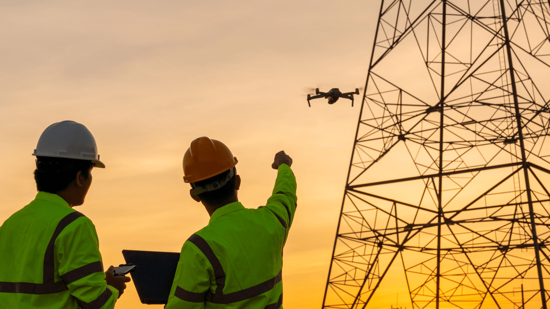
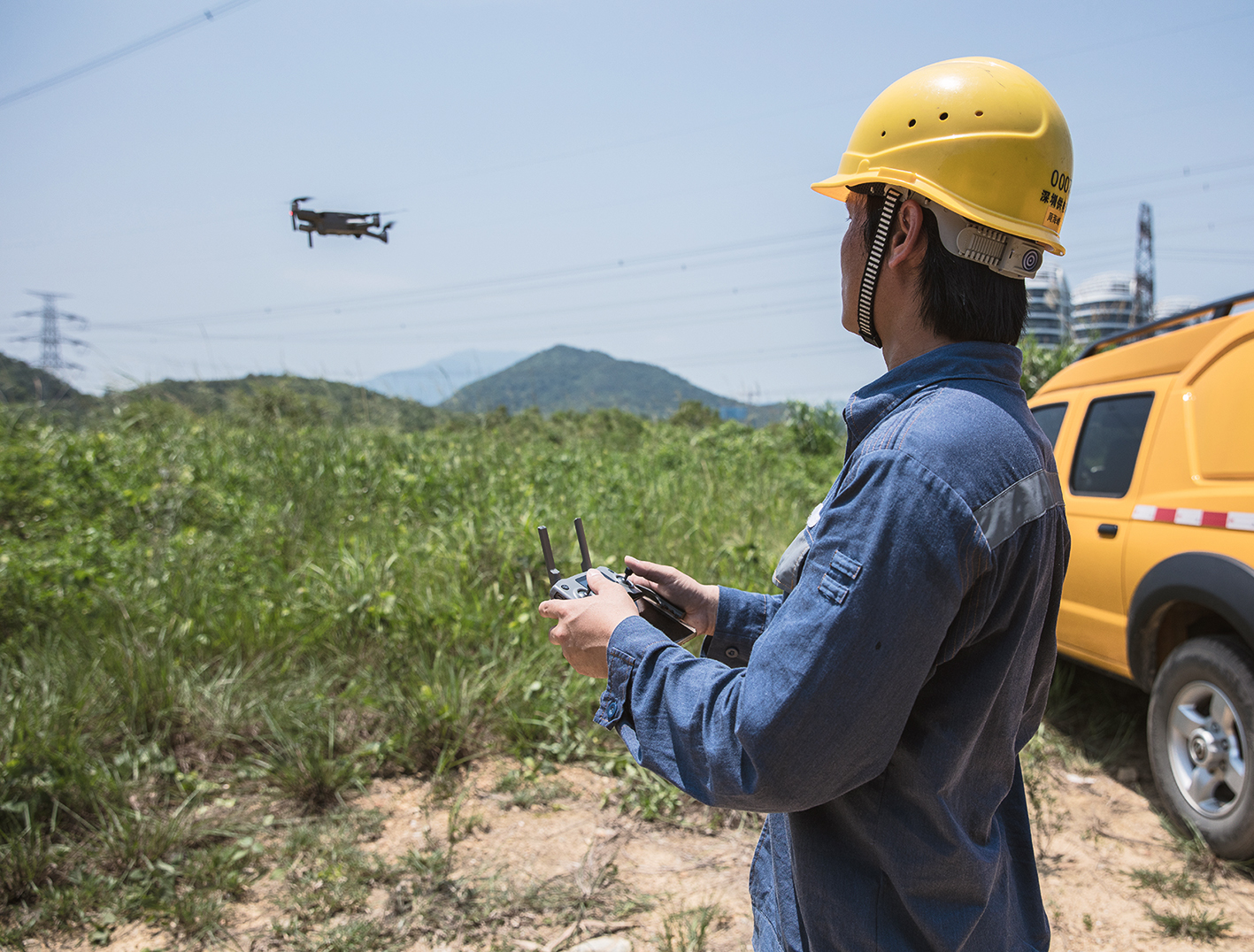
Automatisierte Drohnenflüge zur Generierung von Daten werden in Zukunft noch leichter, denn FlyNex und Drone Harmony geben ihre Partnerschaft bekannt. Das schweizerische Unternehmen Drone Harmony und das deutsche Start-up FlyNex bieten Lösungen an, die die kommerzielle Durchführung von Drohnenprojekten ermöglichen. Damit wird die gemeinsame Mission weiter verfolgt, Datenerfassung von Objekten mit Drohnen weiter zu automatisieren.
Alle Drohnenprojekte auf einen Blick
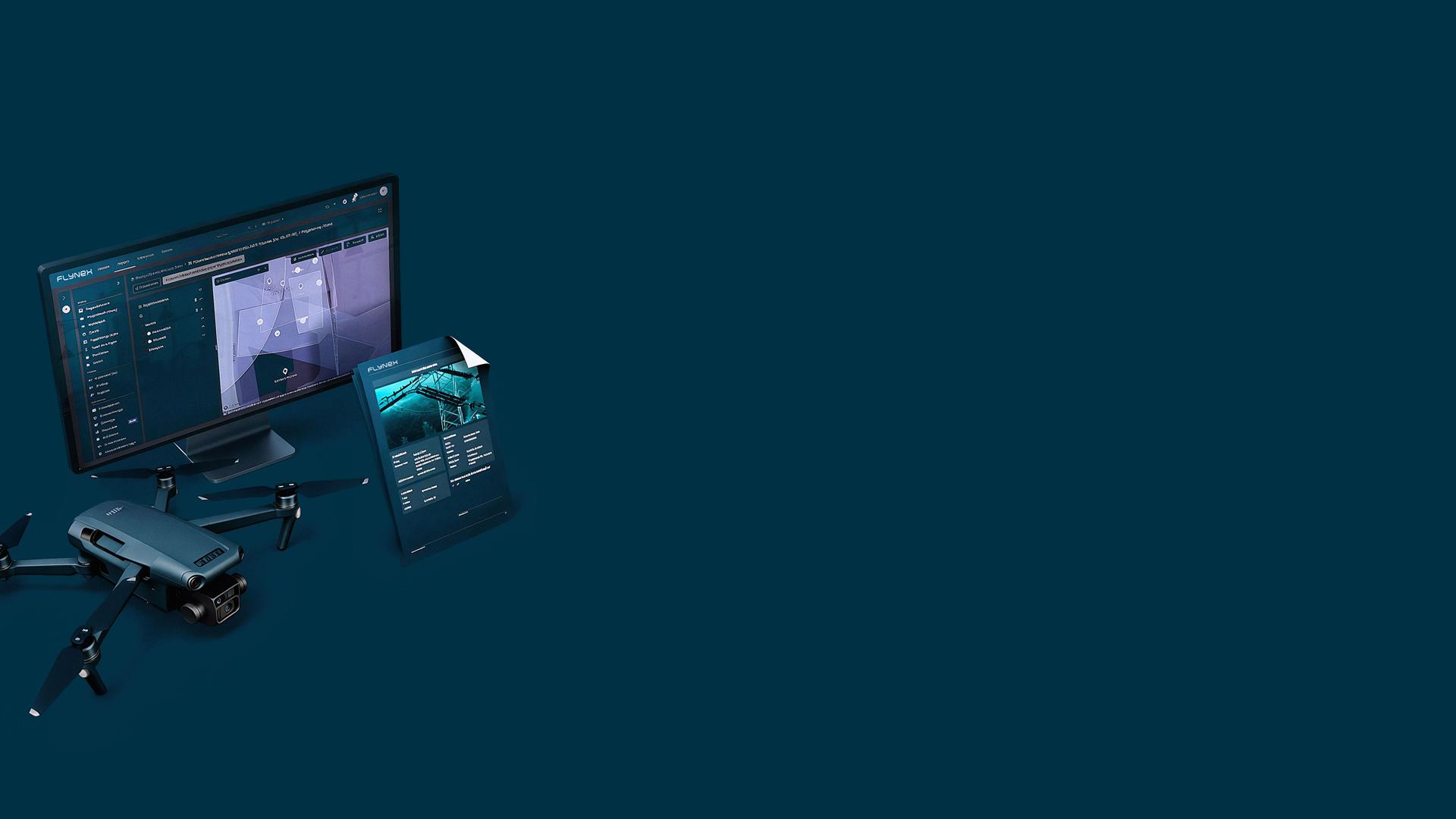
Die FlyNex Plattform bildet von der Planung über die Befliegung bis hin zur Analyse gewonnener Daten das gesamte Projektmanagement von Drohneneinsätzen ab. Dabei setzt FlyNex einen starken Fokus auf Unternehmen mit mehreren hundert Assets. Digital lassen sich Objekte planerisch und projekttechnisch verwalten und managen, um z. B. routinemäßig Inspektionen durchführen zu lassen.
Missionsplanung für Automatisierung
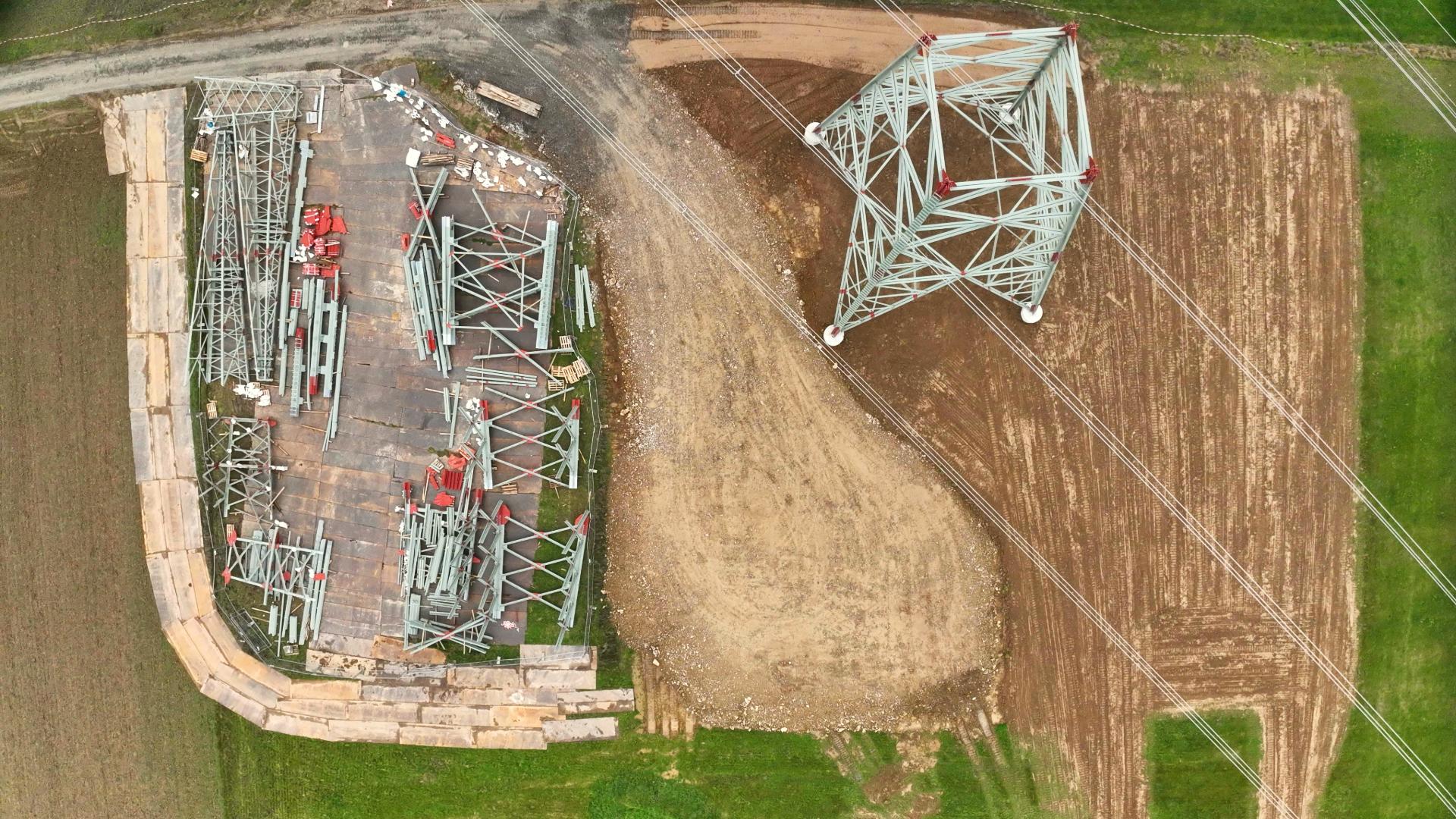
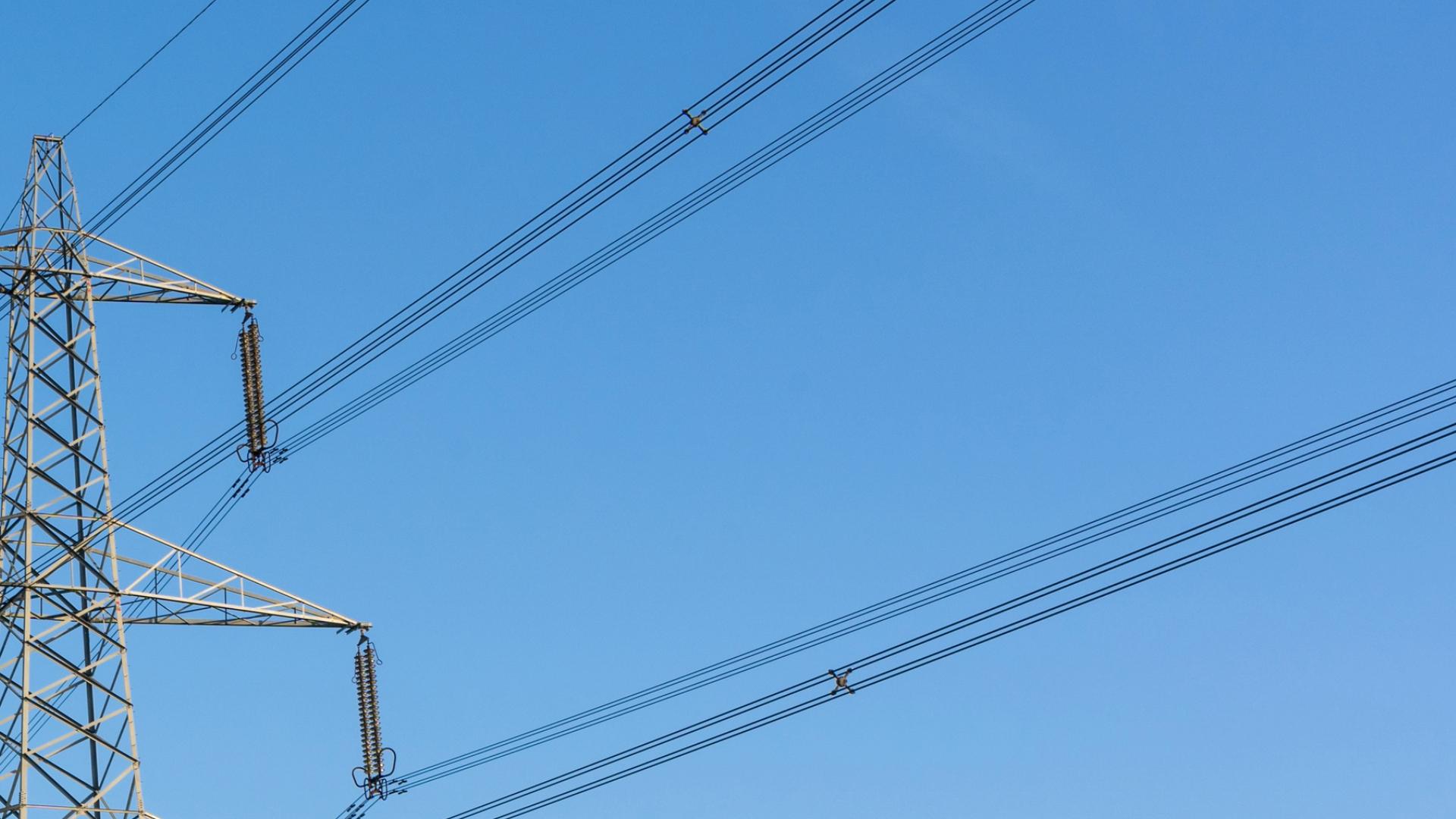
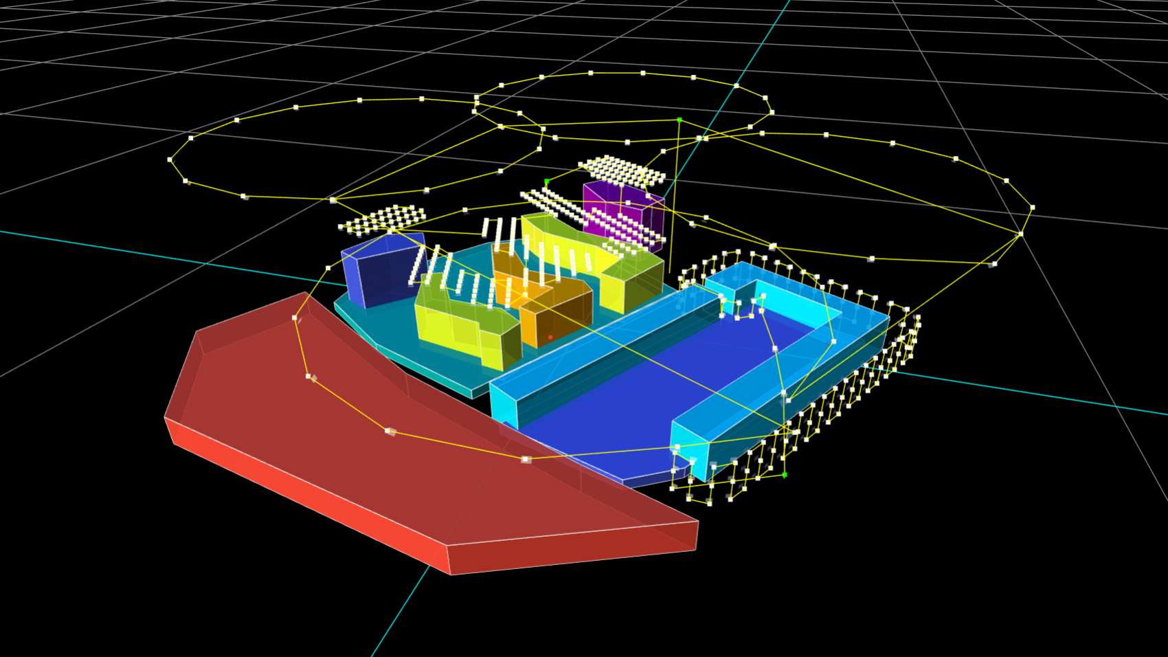
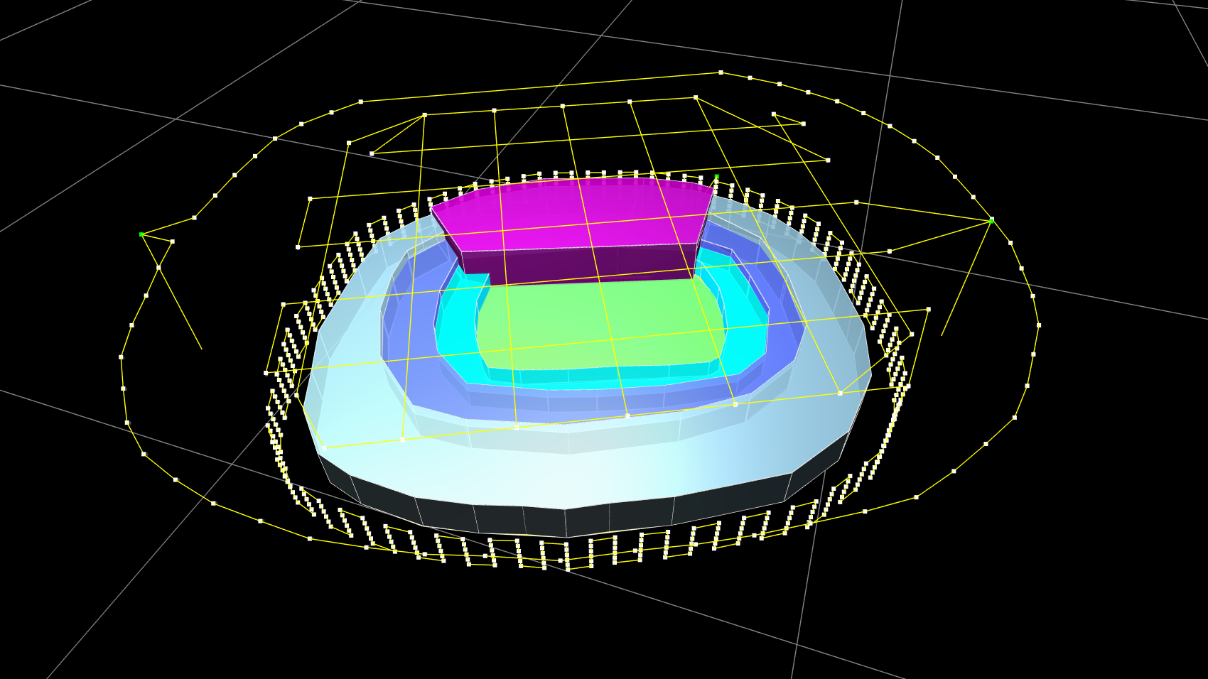
Als Ergänzung hierzu ermöglicht Drone Harmony die dreidimensionale Missionsplanung für die Automatisierung kommerzieller Drohnenflüge. Speziell bei der Befliegung von Industrieanlagen, Sendemasten und sonstiger Infrastruktur ist ein hoher Detailgrad bei der Planung des Drohneneinsatzes notwendig. In welcher Höhe muss der Drohnenflug erfolgen? In welchem Abstand und Winkel müssen Bilder aufgenommen werden? Und wie verändern sich diese Parameter, wenn ich Datenmaterial mit einer Genauigkeit von unter einem Millimeter erhalten möchte? All diese Aspekte werden in der Lösung von Drone Harmony berücksichtigt, sodass eine automatisierte Befliegung erfolgen kann.
Hochwertige Daten für Vermessungen und Inspektionen
Insbesondere für den Bau- und Energiesektor ergeben sich aus der All-in-one-Lösung von FlyNex und Drone Harmony Vorteile. Denn generierte Daten können Grundlage für beispielsweise die Erstellung von Orthofotos und digitalen Zwillingen sein.
Bei Interesse oder weiterführenden Fragen beraten wir Sie gerne persönlich. Wir freuen uns auf Ihre Nachricht und wünschen gute Flüge.
Ihr FlyNex Team


