More Efficiency and Precision in Land Damage Documentation
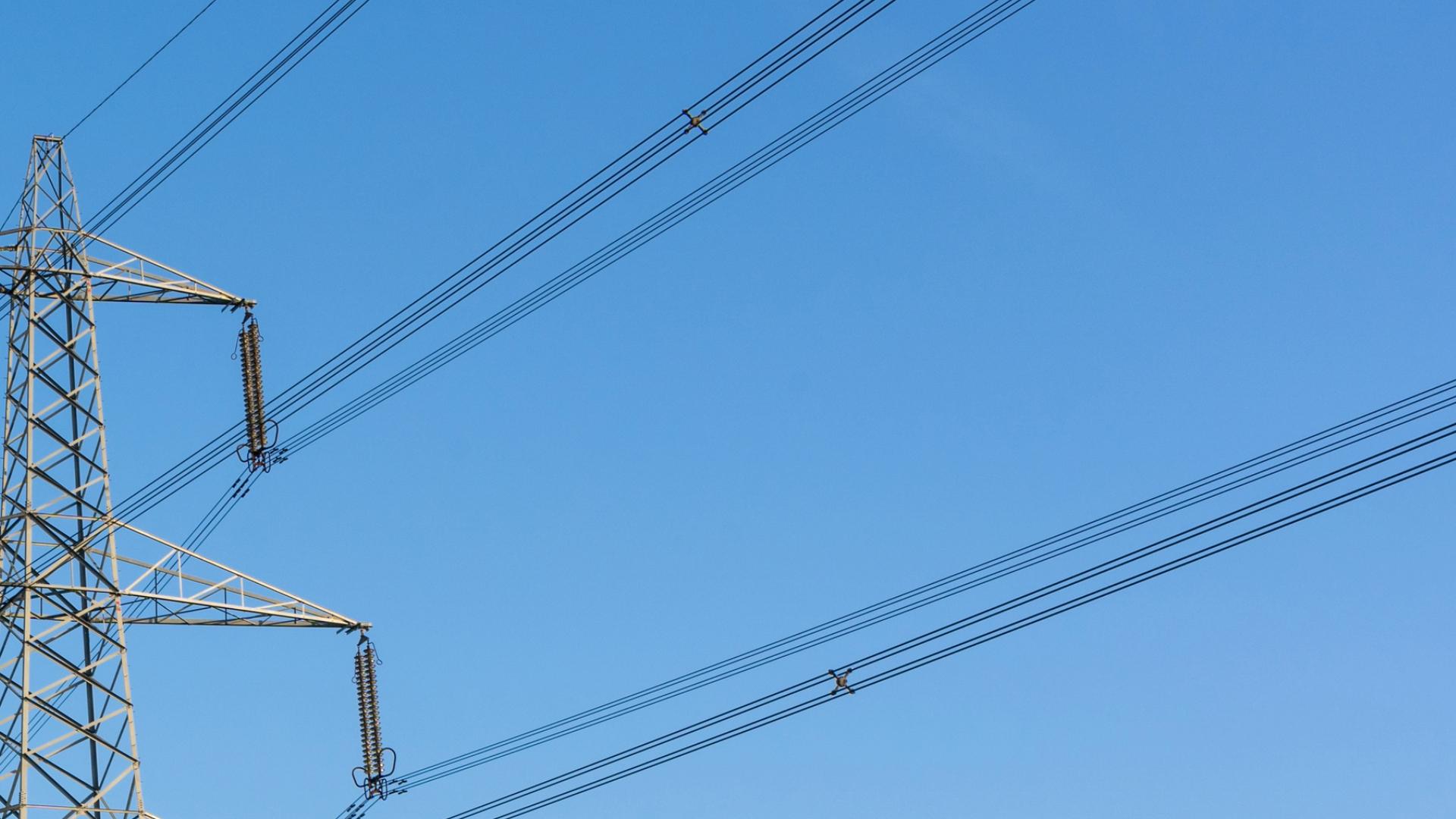
In the energy industry, land damage is an unavoidable by-product of progress. It is caused by the necessary construction, maintenance, and operation of essential energy infrastructure, such as power and gas lines or wind turbines. These interventions in the landscape can result in a range of environmental impacts, from soil compaction to loss of vegetation, which threaten the physical and ecological stability of the affected areas.
Given the importance of efficiently planning and minimizing such damage, FlyNex’s innovative solution offers a revolutionary way to address these challenges. By bundling use cases, FlyNex’s solution increases the efficiency of land damage documentation and creates synergies.
Why is the documentation of land damage so important?
The documentation of floor damage is essential for several reasons:
Regulatory compliance: It helps companies meet legal requirements and prove to authorities or owners that the necessary measures have been taken to repair the damage.
Damage analysis and repair: Precise documentation enables a targeted analysis of the damage and the planning of appropriate repair or restoration measures.
Preventive measures: The data can be used to prevent future damage, for example, by providing information about weak points in the infrastructure or high-risk vegetation.
The FlyNex solution: Efficient land damage documentation with drones
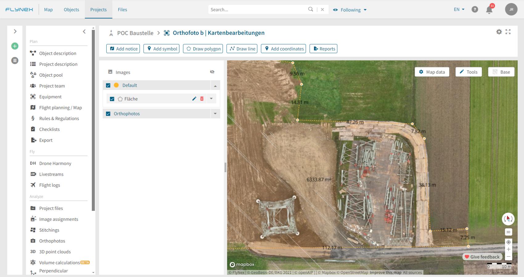
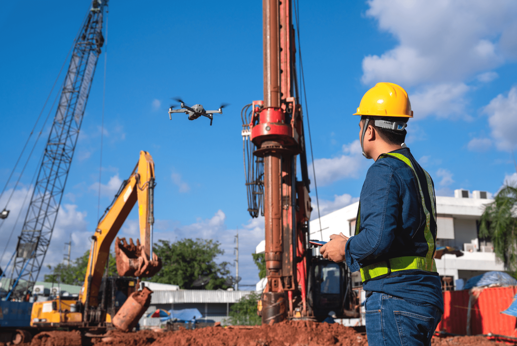
FlyNex uses advanced drone technology to revolutionize the documentation of land damage. Drones can cover large areas quickly and efficiently, delivering high-resolution images and videos. This data can be immediately analyzed on the FlyNex Platform, enabling precise recording and assessment of field damage.
Synergies through bundling of use cases
The strength of drone technology in combination with the FlyNex Platform lies not only in its efficiency and precision in documenting corridor damage. It also enables the bundling of various use cases that are of interest to network operators and overhead line constructors. A single drone flight can be used to collect data for vegetation management and general infrastructure inspection in addition to damage documentation. This offers several advantages:
- Cost efficiency: A single, well-planned drone flight can eliminate the need for multiple separate inspections, significantly saving operating costs.
- Data consistency: Collecting data for multiple purposes simultaneously ensures that all information comes from a single, consistent source, simplifying analysis and reporting.
- Time saving: Performing multiple inspections simultaneously reduces the overall duration of data collection, which is particularly beneficial in critical situations or tight timeframes.
Conclusion
Integrating drone technology and the FlyNex Platform into the routine of infrastructure monitoring and maintenance represents a significant step forward. Documentation of pavement damage, vegetation management and general inspection can now be carried out more efficiently, accurately and cost-effectively. This technological evolution enables improved compliance and damage repair, proactive maintenance, and risk minimization.
Investing in such forward-looking technology offers significant added value to network operators and overhead line builders by optimizing operational processes while minimizing environmental impact. Discover the opportunities opened up by using drones and the FlyNex Platform and embrace the future of infrastructure monitoring and maintenance today.
If you have any questions or would like more information, please contact us.
