Wir möchten, dass Sie auch in diesem Jahr mit Ihren Drohnenprojekten voll durchstarten können. Darum haben wir unsere FlyNex Plattform für Sie optimiert und noch intuitiver gestaltet. Verschaffen Sie sich selbst einen Überblick über neue Funktionen, die die Umsetzung Ihres kommerziellen Drohnenprojekts noch leichter machen.
Alle Vorteile auf einen Blick
30-Tage-Testphase
Ab sofort können Sie im Rahmen eines 30-tägigen Testzeitraums alle Funktionen der Plattform kostenfrei testen. Das Beste daran: Sie müssen nichts weiter tun, als sich mit Ihren bestehenden Zugangsdaten einzuloggen oder erstmalig einen neuen Account anzulegen. Nach Ablauf der 30 Tage endet der Test ohne Kündigung automatisch, ohne dass versteckte Kosten anfallen.
So übersichtlich wie nie zuvor – Dashboard
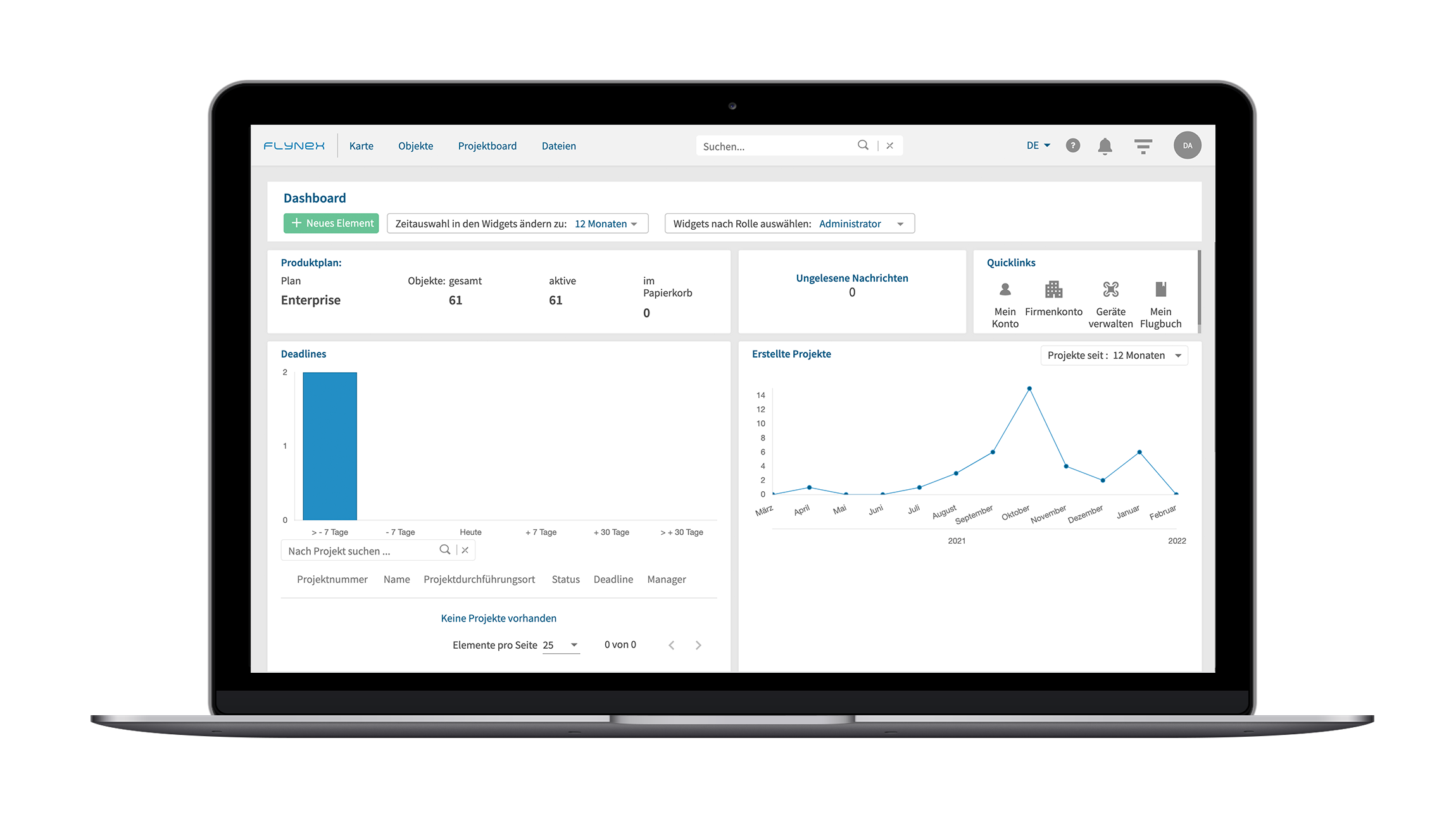
Es war noch nie so einfach, den Überblick über Ihre Drohnenprojekte zu behalten. Das neue Projekt-Dashboard ist Herzstück der Plattform und hält Sie über anstehende Deadlines und Projekte auf dem Laufenden. Sehen Sie auf einen Blick, wann Projekte erstellt wurden und welche kürzlich in Bearbeitung waren. Verpassen Sie keine Nachricht mehr. Das Dashboard hält Sie informiert!
Objektbasiertes Arbeiten
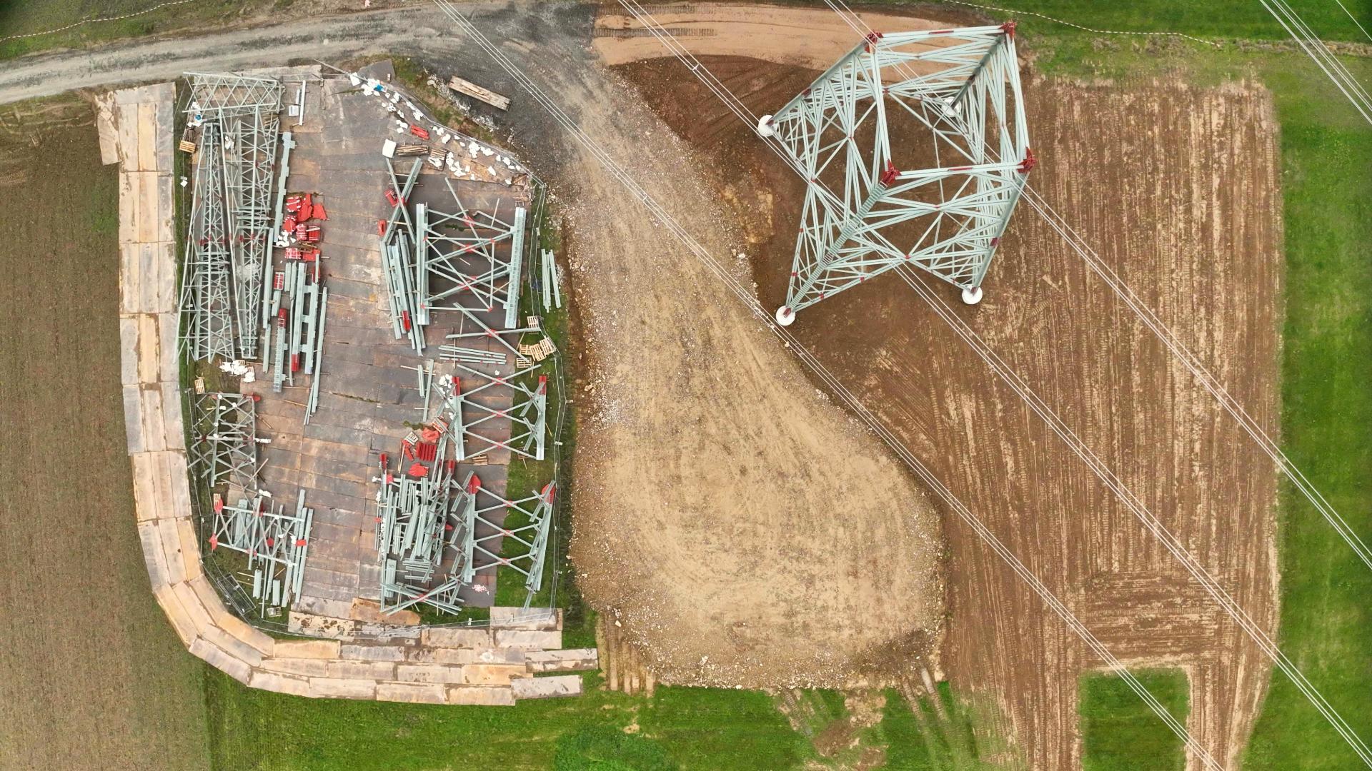
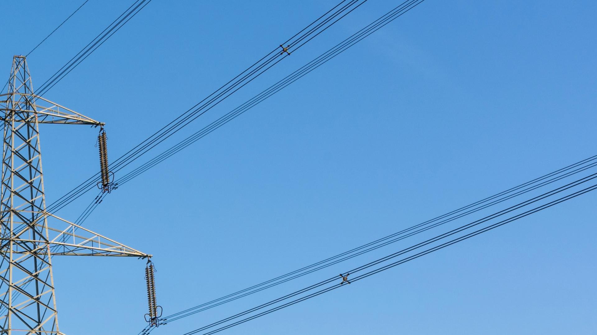
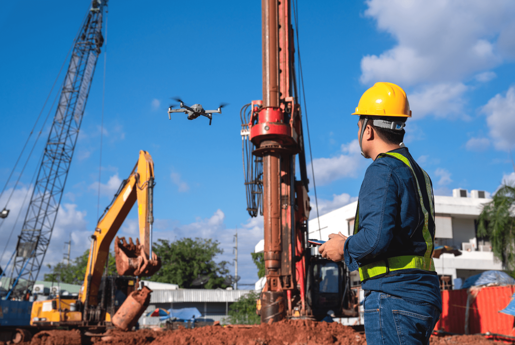
Legen Sie bereits in der kostenfreien Testphase beliebig viele Objekte wie beispielsweise Strommasten, Baustellen oder Flächen an. Ordnen Sie Ihre Befliegungsprojekte den jeweiligen Objekten zu und dokumentieren Sie unkompliziert Schäden, Baufortschritte oder Zustandsveränderungen. Um für Ihr Unternehmen Drohnenprojekte im Team umzusetzen, können Sie unbegrenzt Mitarbeiter/-innen einladen und deren Rollen und Rechte individuell verwalten.
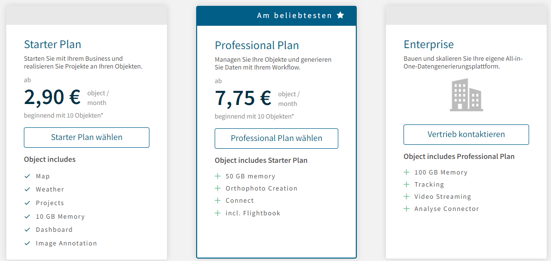
Haben Sie mehr als drei Objekte, an denen Sie regelmäßig Projekte durchführen möchten? Dann sehen Sie in unserer Preisübersicht, welcher Plan sich für Sie am besten eignet.
ConnectApp – Schnittstelle zwischen Plattform und Drohne
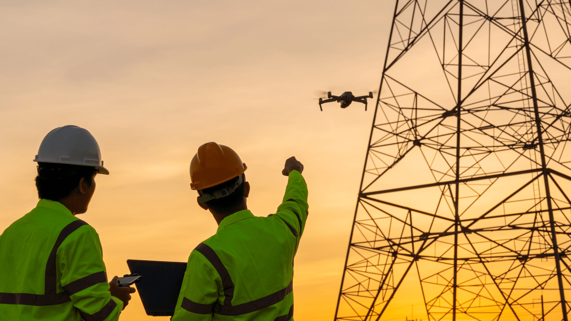
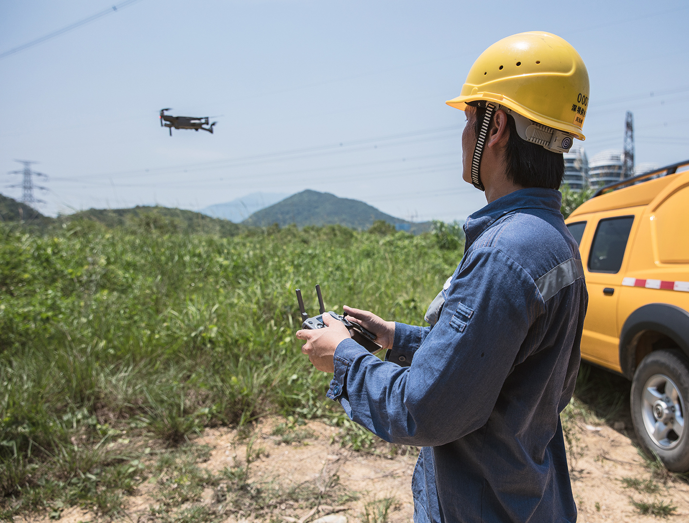
Die eigens für die FlyNex Plattform entwickelte Connect App bildet die Schnittstelle zwischen Ihrem FlyNex Konto und der Drohne. Mithilfe der App können Sie Projektdaten unkompliziert an Ihrem Drohnen-Controller abfragen und zuvor gespeicherte Flugmuster abrufen. Darüber hinaus ermöglicht die Connect App das Livestreaming Ihres Drohnenflugs sowie die Übermittlung der Drohnenaufnahmen an die Plattform.
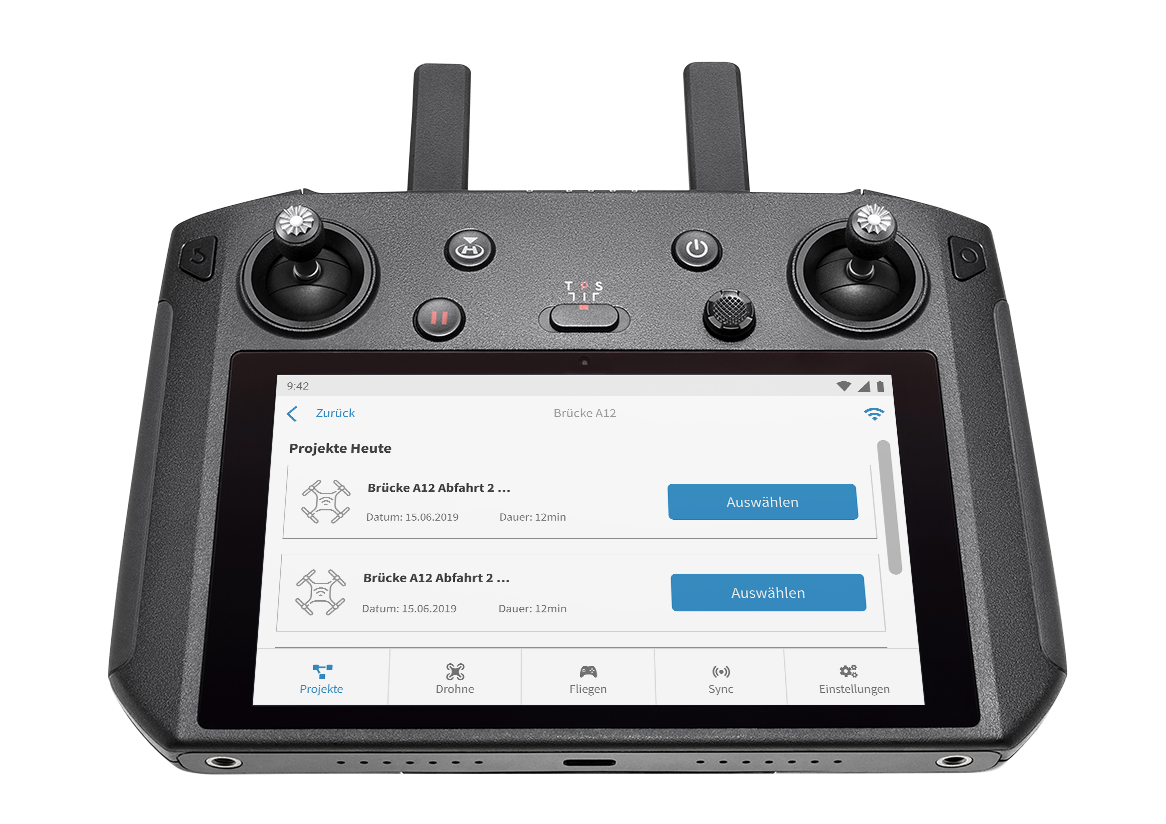
Analysemöglichkeiten – Orthofotos, 3D-Modelle, KI-Auswertung
Sie möchten das per Drohne generierte Datenmaterial für die Erstellung von Orthofotos, 3D-Modellen nutzen oder eine Analyse per KI, wie beispielsweise von unserem Partner Denkweit, vornehmen? Wir binden Ihnen Ihre gewünschte Analyse-Software in die FlyNex Plattform an.
Rechtkonformität prüfen
Regelungen und Gesetze für den Drohnenflugverkehr haben es in sich. Behalten Sie für die Genehmigung Ihres Drohnenprojekts den Überblick über alle geltenden Vorschriften und Auflagen der EU-Drohnenverordnung. Die FlyNex Flug-Validierung gibt Ihnen schnell und zuverlässig Auskunft darüber, in welcher Betriebskategorie Sie sich mit Ihrem geplanten Drohnenflug befinden.
Haben Sie weitere Fragen zu unserem Produkt? Wir freuen uns auf Ihre Nachricht und wünschen weiterhin gute Flüge.
Ihr FlyNex Team
