Ein Orthofoto ist ein senkrecht zur Erdoberfläche aufgenommenes, perspektivisch entzerrtes und damit maßstabgenaues Luftbild. Es bietet vor allem Vorteile in Bezug auf Aktualität und Verfügbarkeit. Ein Hauptvorteil ist die Messbarkeit von Distanzen im Bild.
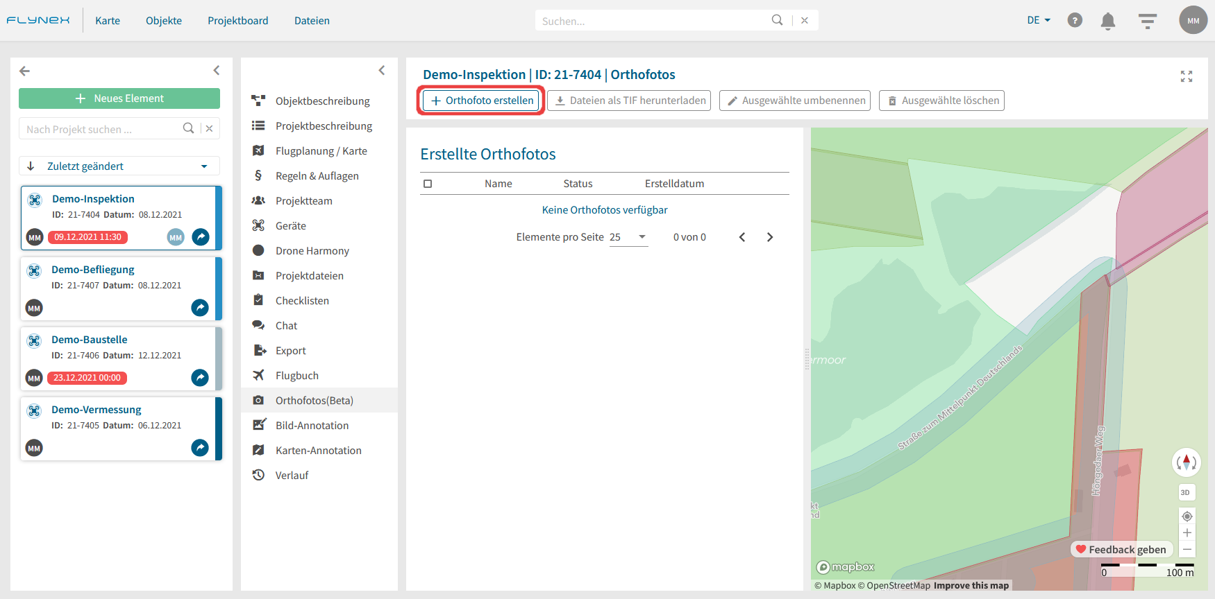
Das berechnete Orthofoto kann zur detaillierteren Bearbeitung in die Funktionen Flugplanung / Karte und Karten-Annotation eingebunden werden.
3) Laden Sie eine entsprechende Anzahl an Fotos hoch oder entnehmen Sie diese aus Ihren Projektdateien.
Hinweis: Die Qualität des Orthofotos hängt vor allem von folgenden Kriterien ab: Auflösung, Anzahl und Überlappungsgrad der Aufnahmen.

4) Sobald die Berechnung des Orthofotos abgeschlossen ist, erhalten Sie eine Benachrichtigung.