In this article, we show some fields of application for drones in the energy industry, which are still dealt with by only a few. There are more applications for unmanned aerial systems/drones in the energy industry than many managers can imagine. The use of drones is often related to wind turbines operating onshore or offshore. The flying of photovoltaic systems is also a prominent application. But there is much more.
UAVs and hydroelectric power plants
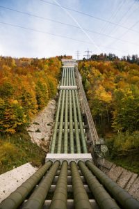
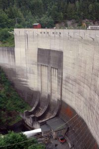
Hydropower Plants also contribute to the generation of electricity. This is clean energy that can be produced in two different ways. There are run-of-river power plants and storage power plants. In Germany, energy is mainly generated with run-of-river power plants, as there are hardly any huge reservoirs due to geographical reasons and the lack of corresponding differences in altitude. In Germany, we can boast some large rivers and can generate energy directly from nature. In order for this to happen sustainably and for clean energy to actually be produced in an environmentally friendly way, a vegetation management system is necessary.
Area of responsibility for vegetation management
In some companies, there is the area of responsibility of vegetation management. This is an exciting and important task. Wherever dams or hydroelectric power plants are in operation or are being commissioned, there is a change in the vegetative environment. To be more precise, there are gigantic impacts on the environment. And it is precisely these interventions that can be monitored with unmanned aerial systems.
We are talking about the data acquisition and measurement of a riverbed or the NDVI (Normalized Difference Vegetation Index) analysis of the ecosystem. Because the nutrient enrichment in the water changes and the vegetative cycle is massively disturbed. Reservoirs can quickly act as sediment traps and thus the river in question in the lower reaches leads to too little sediment and the effect of erosion is disturbed many times over. Unmanned aeronautical systems can protect not only nature but also humans. The effective and fast collection of data by means of drones is therefore not only a cost-effective and effective method for high-quality vegetation management in this area of the energy industry but also supports sustainable energy generation.
More cost-effective and significantly more effective
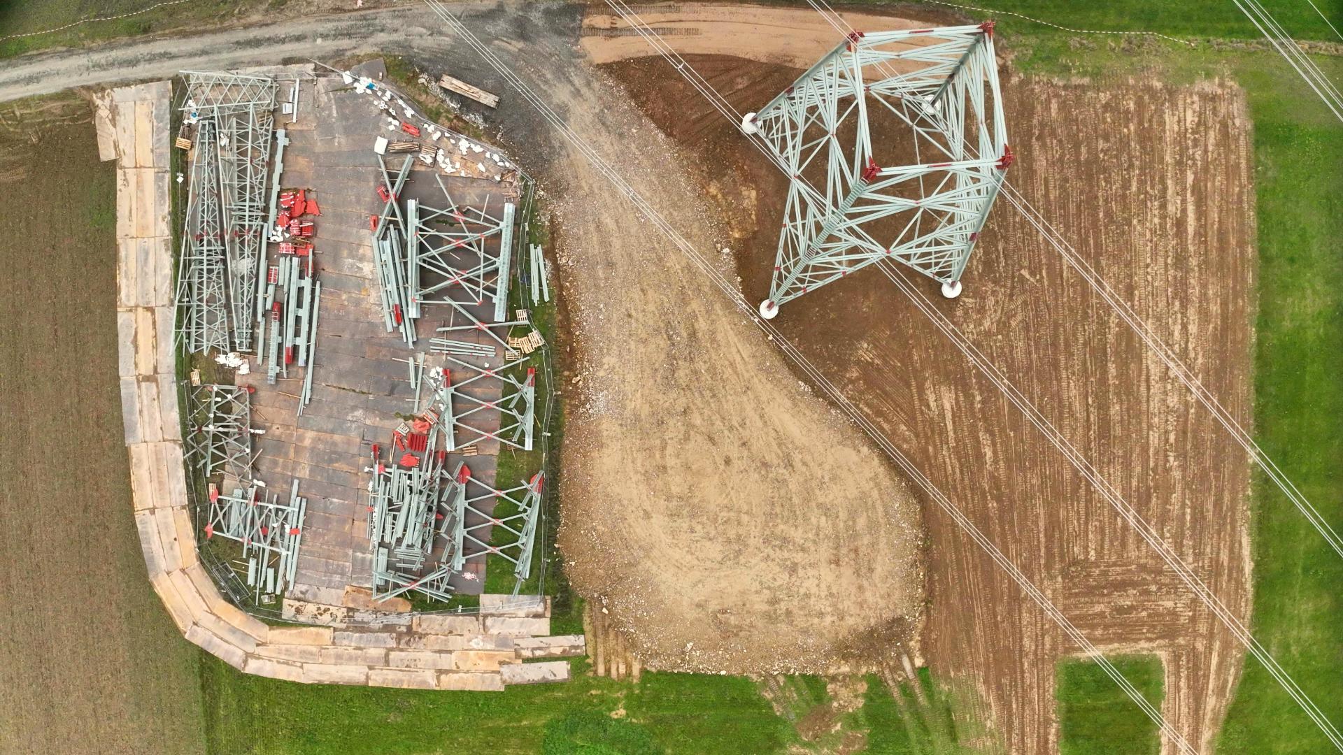
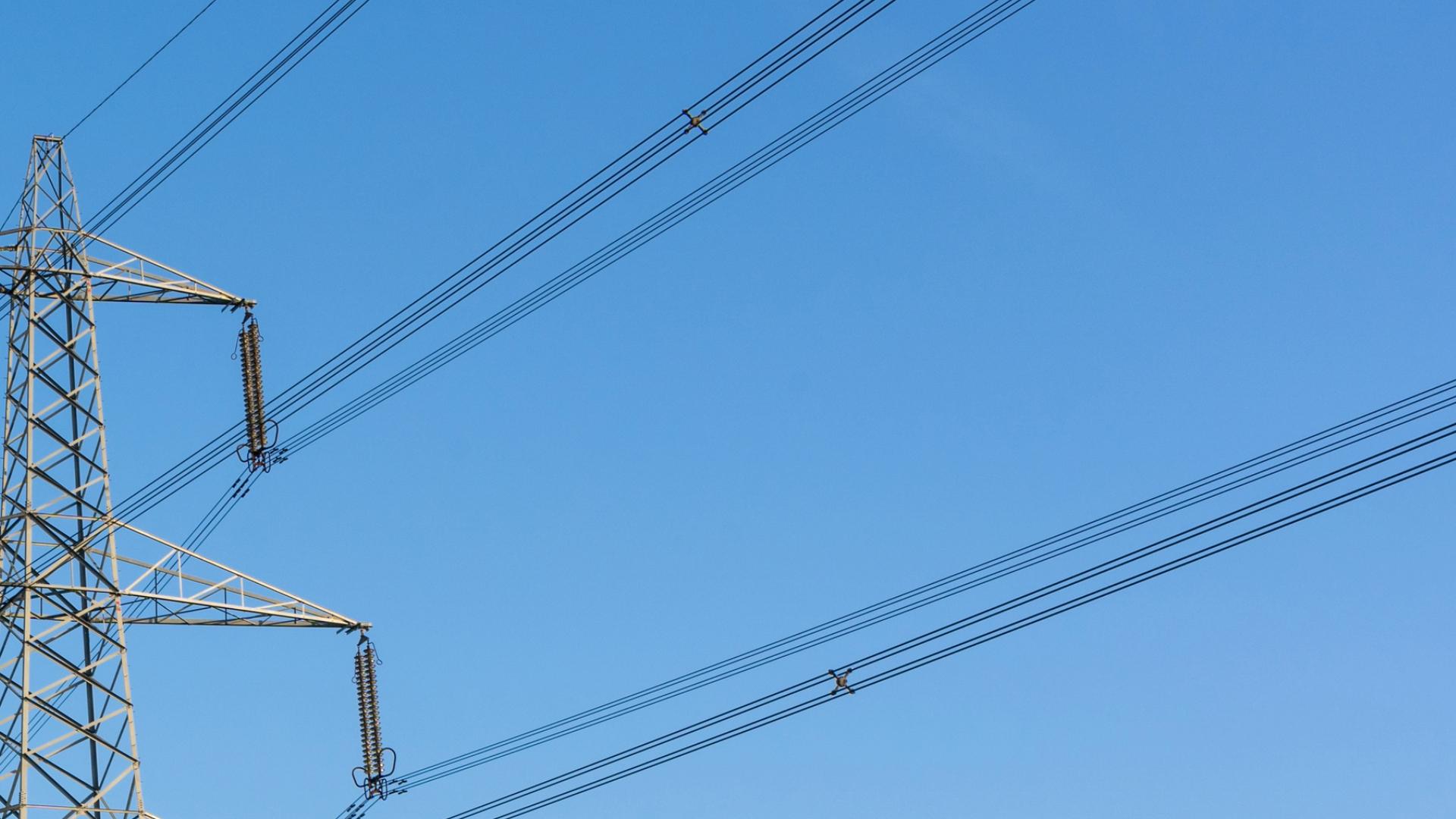
If we now look at the power lines of these hydroelectric power plants, which make their way directly through forests and fields, vegetation management becomes even more relevant. These seemingly eternal corridors through nature, where one power pole follows another, are constantly endangered by numerous environmental influences. A tree that bends over, a softening ground and an elaborate search for damage to the network begin. Unmanned aeronautical systems can offer a quick solution and also provide a quick picture of the situation for the network operators.
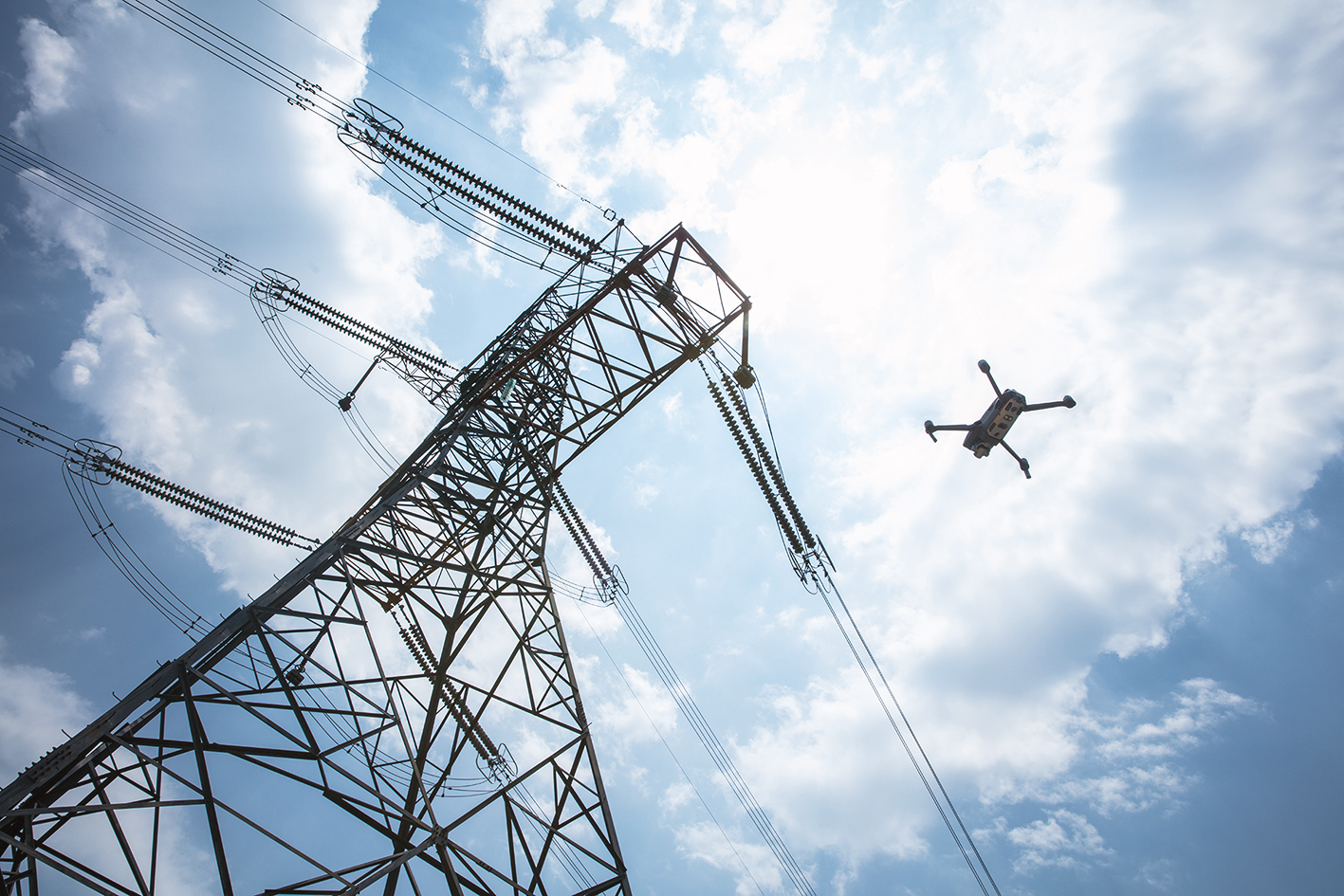
Using an unmanned aeronautical system with LIDAR (Light Detection and Ranging) in overflight to measure the local conditions is not only faster and cheaper but also more effective than an engineer performing a daring maneuver on a helicopter or a network survey on the ground.
For the energy industry, the question is: “Make or Buy”?
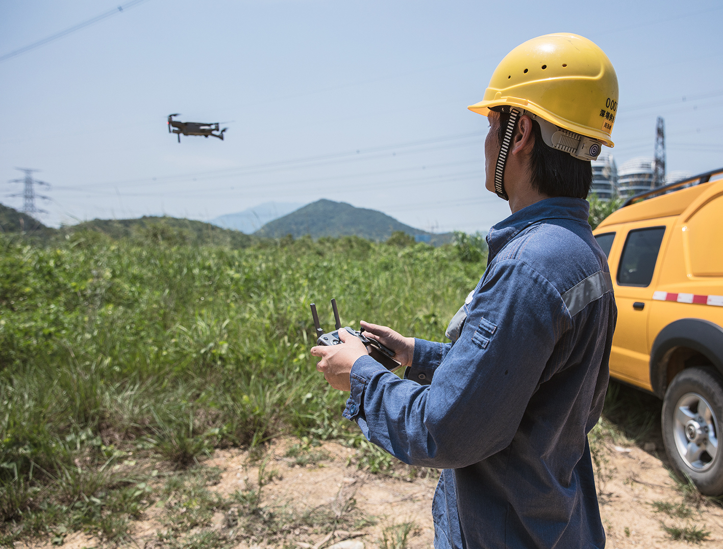
In just a few hours, tasks can be taken on that previously took several days. For the energy industry, the old question now arises: “Make or Buy”. The current trend is toward hiring specialists. They have the necessary equipment and know the corresponding systems from daily practice.
This enables them to carry out a “quick check” on the systems or power lines. The individual energy companies do not necessarily have to buy their own equipment and pilots. To operate this fleet management would cause more expenses for the individual companies and cancel out the benefits. Rather, we now recommend entering into the planning process for a long-term strategy in the company and gaining initial experience by commissioning professionals to test the fields of application in the company.
With FlyNex you plan your project in simple steps
No matter whether you are planning a route flight in your company or local data generation for vegetation management, FlyNex will support you with your projects. FlyNex uses specially developed software to plan your flight routes and implement the deployment of unmanned aerial systems in just a few steps. With just a few clicks you decide where to fly and receive all relevant information from a single source. FlyNex provides you with digitized results directly into your in-house systems, from the planning to the flight to the finished analysis, so that you profit just as sustainably from the use of unmanned aeronautical systems.
We would, therefore, be pleased to support your company with a first workshop free of charge.
The FlyNex Team
