Wie behalten Bauleiter/-innen den Überblick über mehr als 500 Baustellen?
Digitalisieren Sie Ihre Baustelle mithilfe von Drohnen. Wir helfen Ihnen dabei!
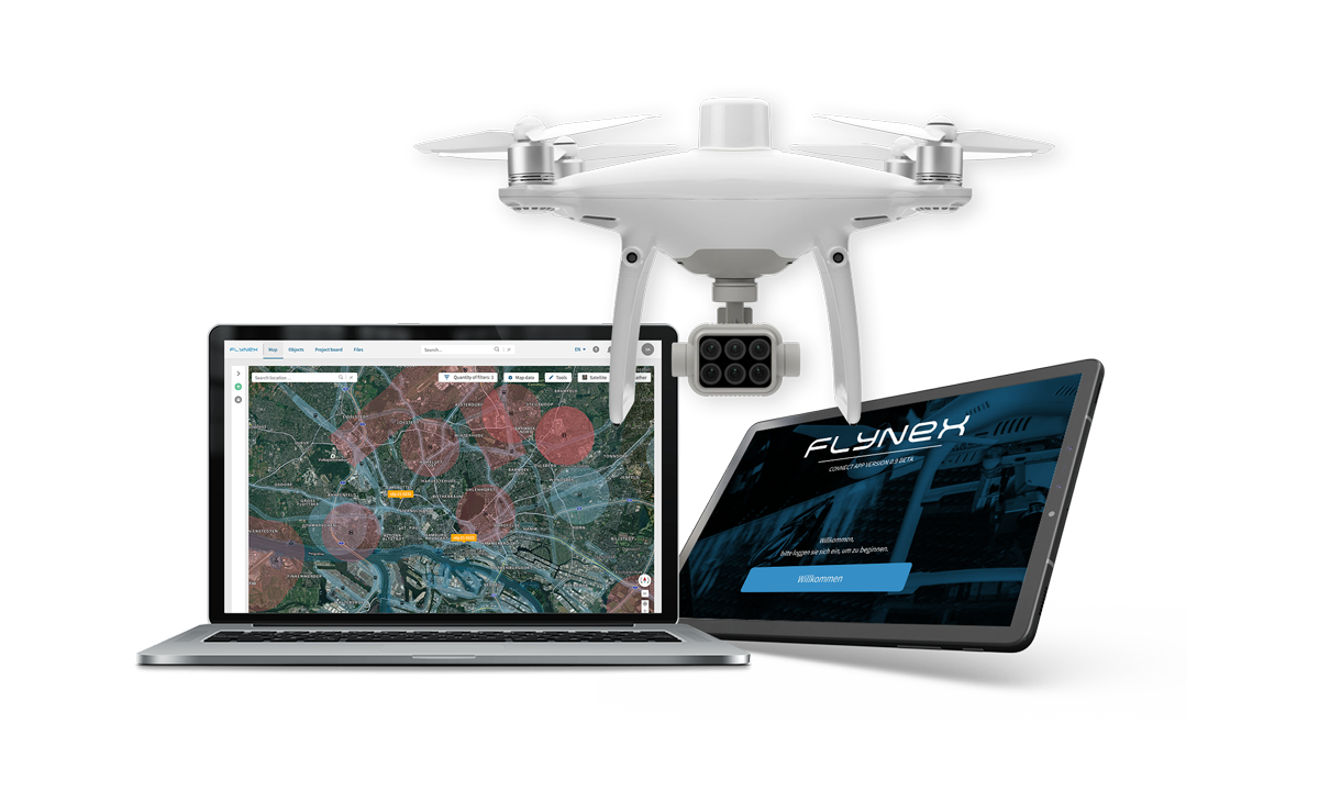
Erhalten Sie durch den Einsatz von Drohnen und der FlyNex Plattform innerhalb kürzester Zeit hochwertige Daten. Diese einheitliche Datenbasis ermöglicht Ihnen die digitale Baudokumentation, Bauvermessung sowie Bauplanung, z. B. für Building Information Modeling (BIM) oder Photogrammetrie. Zudem können die gewonnenen Erkenntnisse mit dem gesamten Team geteilt werden.


PRODUKTIVITÄT STEIGERN
Seien Sie schneller handlungsfähig dank automatisierter und digitalisierter Prozesse.
ZEIT SPAREN
Führen Sie Vermessungen, Dokumentationen und Volumenberechnungen mit nur einem Flug durch.
ARBEITSSICHERHEIT ERHÖHEN
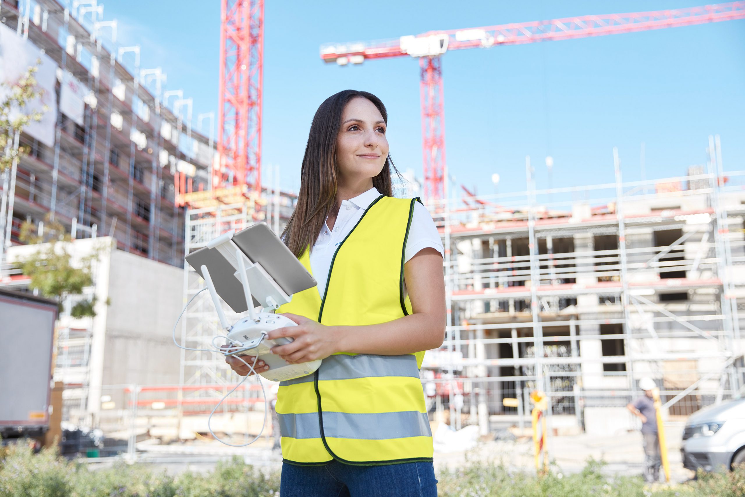
Befliegen Sie schwer erreichbare Stellen per Drohne und lassen Sie Ihr Personal sicher am Boden.


„Die Digitalisierung der Baustellenfortschritte mittels Drohnen sind für uns operativ wie strategisch ein wichtiges Element im gesamten Bauprozess. Aktuelle, präzise Daten sind unverzichtbar für systematisierte und getaktete Gewerke.“

Profitieren auch Sie von der Digitalisierung Ihrer Baustellen und erfahren Sie mehr!
FlyNex arbeitet partnerschaftlich mit


