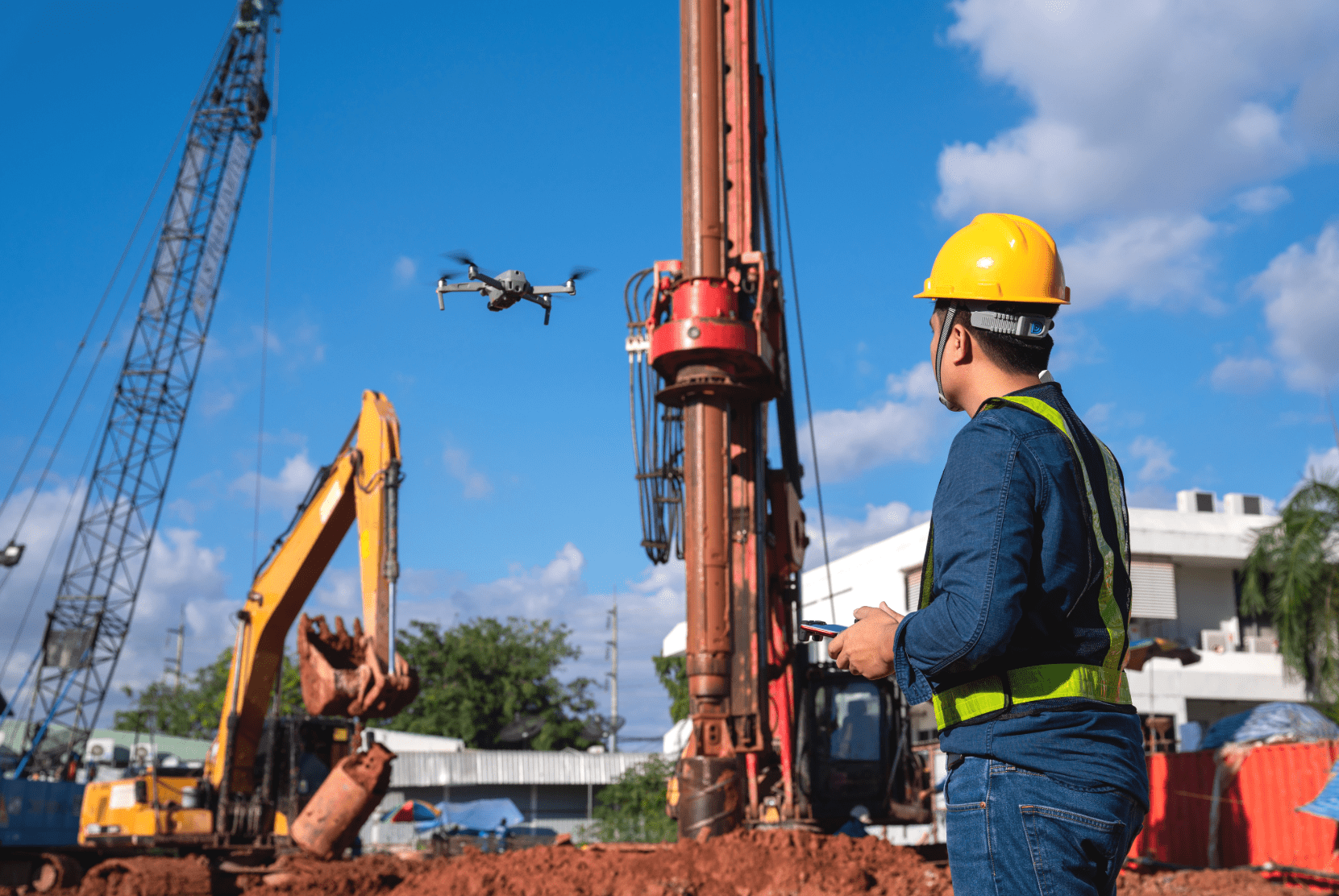
Ein Großbauprojekt zu managen ist ein undankbarer Job. Der Zeitplan ist eng, der Bau komplex und der öffentliche Druck dank medialer Aufmerksamkeit hoch. Schon durch kleinere Fehler und Verzögerungen läuft das Projekt heutzutage Gefahr zur Lachnummer zu werden. Und Gott bewahre, dass etwas Größeres schiefgeht und das angepeilte Budget nicht ausreicht. Dann ist der mediale Furor schnell groß und die Politik sucht nach Schuldigen.
Das beste Beispiel dafür findet sich natürlich in der Bundeshauptstadt Berlin: Der Flughafen BER. Seit 2006 im Bau befindlich, sollte der Flugbetrieb ursprünglich schon 2011 aufgenommen werden. Acht Jahre und den größten Bauskandal der deutschen Geschichte später liegen alle Hoffnungen auf einer Eröffnung im Oktober 2020. Der Grund: Massive Baumängel und Planungsfehler schon vor Beginn des Baus.
Planung und Dokumentation aus der Vogelperspektive
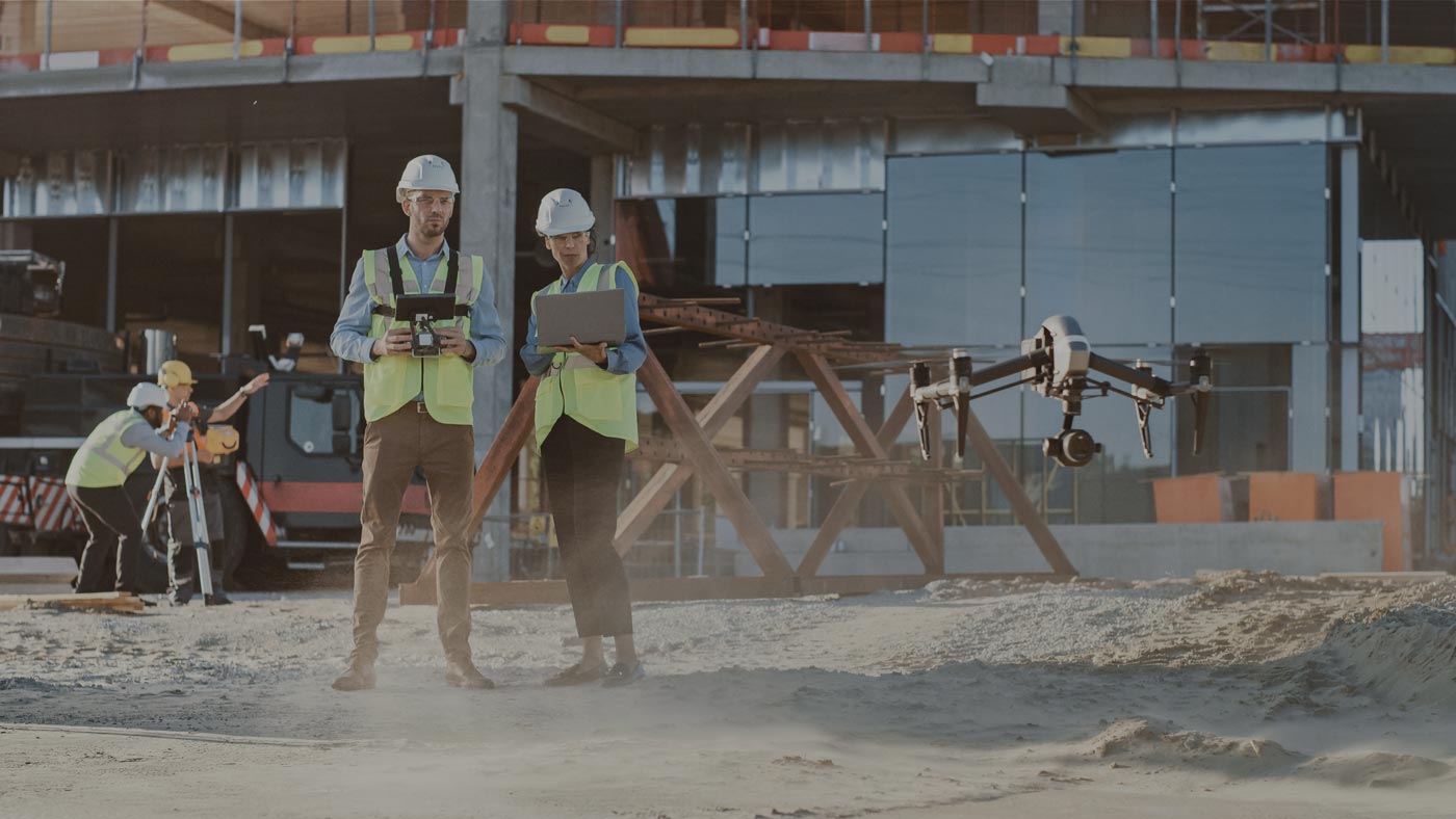
Vermeidbare Probleme also. Ihnen auszuweichen ist jedoch einfacher gesagt als getan. Damit die Bauprojekte der Zukunft reibungsloser ablaufen, muss technologische Unterstützung her. Das beginnt in der Planungsphase und setzt sich durch permanente Kontrolle des Baufortschritts fort. Die Rede ist natürlich von UAVs.
Richtig ausgestattet sind Drohnen das ideale Hilfsmittel für die Planung und Umsetzung eines Großbauprojekts. Mit ihnen kann das zu bebauende Gebiet in einem Bruchteil der Zeit vermessen werden, die ein Vermessungstechniker zu Fuß brauchen würde. Danach wird anhand der Aufnahmen ein detailgetreues 3D-Modell erstellt, das als Planungsgrundlage für das weitere Bauprojekt dient.
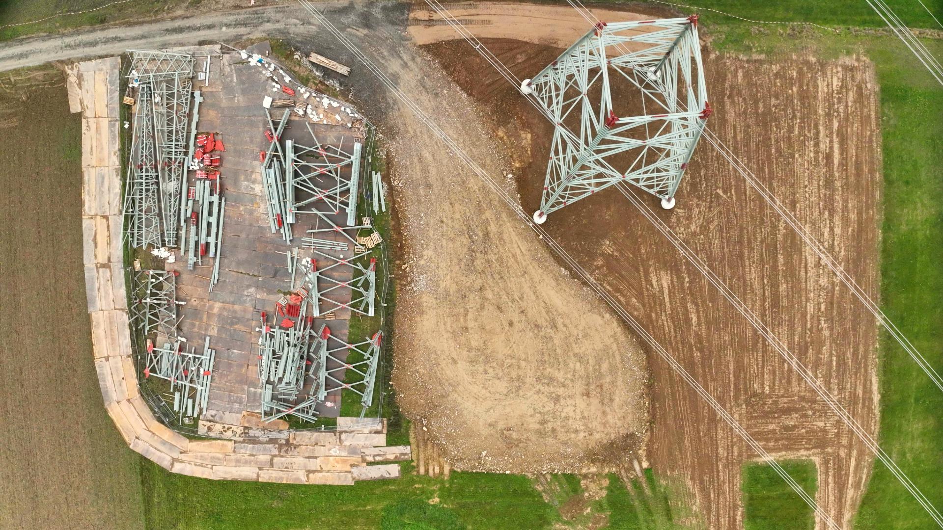
Und damit nicht genug: Ist der Bau schon in vollem Gang, lässt sich der Baufortschritt am besten aus der Vogelperspektive verfolgen. Das demonstrieren aktuelle Aufnahmen der Stuttgarter Bahnhofsbaustelle eindrucksvoll. Außerdem ermöglicht die kompakte Größe der Fluggeräte detaillierte Aufnahmen schwer zugänglicher Orte, wie etwa Luftschächten oder Brandschutzanlagen.
Große Projekte brauchen die richtige Software
So lassen sich Bauprojekte dank UAVs schon heute schneller, günstiger und detaillierter planen und dokumentieren. Auf diese Weise entstehen von vornherein weniger schwerwiegende Fehler und wenn doch mal etwas schiefgeht, wird das Problem schneller erkannt und behoben. Doch dafür braucht es die richtige Software und Managementlösungen, und die finden Sie bei FlyNex.
Mit MAP2FLY bekommen Sie den führenden Kartendienst für Drohnenprojekte inklusive umfassender Informationen zu den gesetzlichen Rahmenbedingungen. HORIZON bietet Ihnen eine für jedes Bauprojekt passende Komplettlösung für den Workflow von Planung, Befliegung und Analyse. Informieren Sie sich noch heute, dann klappt es auch mit dem Eröffnungstermin!
Ihr FlyNex Team
