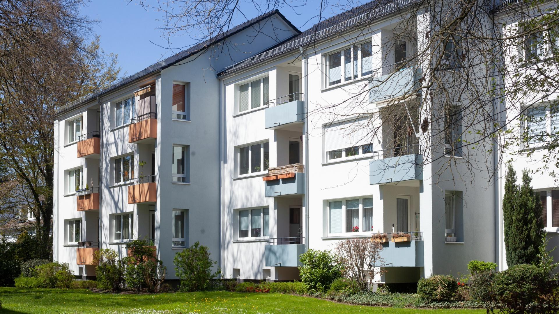
The housing shortage, rent madness, expropriation debates: The lack of sufficient housing has been a hot topic in Germany for years. Numerous possible solutions have been discussed by politicians and in society at large, such as urban consolidation or laws against speculative vacancies. Many of these considerations make sense and have the potential to alleviate the housing shortage. But in the end the only way to solve the problem is in the traditional way – newly built living space has to be provided!
Luckily, the urgency of the situation led to a proper construction boom all over Germany, as a comparison of local statistics by the German Press Agency shows. Last year, 35 apartments per 10,000 inhabitants were completed in Germany. This is 62 percent more than ten years ago. In this, some of the largest metropolises are leading the country, namely Hamburg (58 per 10,000), Munich (53), Frankfurt (47) and Berlin (46).
Aerial surveying accelerates projects
But despite all willingness to build – it does not do justice to the overwhelming demand for living space, especially in the “A-cities”. Although 346,800 apartments were approved nationwide in 2018, only 285,900 were completed. In the mid-1990s, twice as many apartments were completed in the same period. So what to do? How can the completion of already approved housing projects be accelerated? The answer: drone technology.
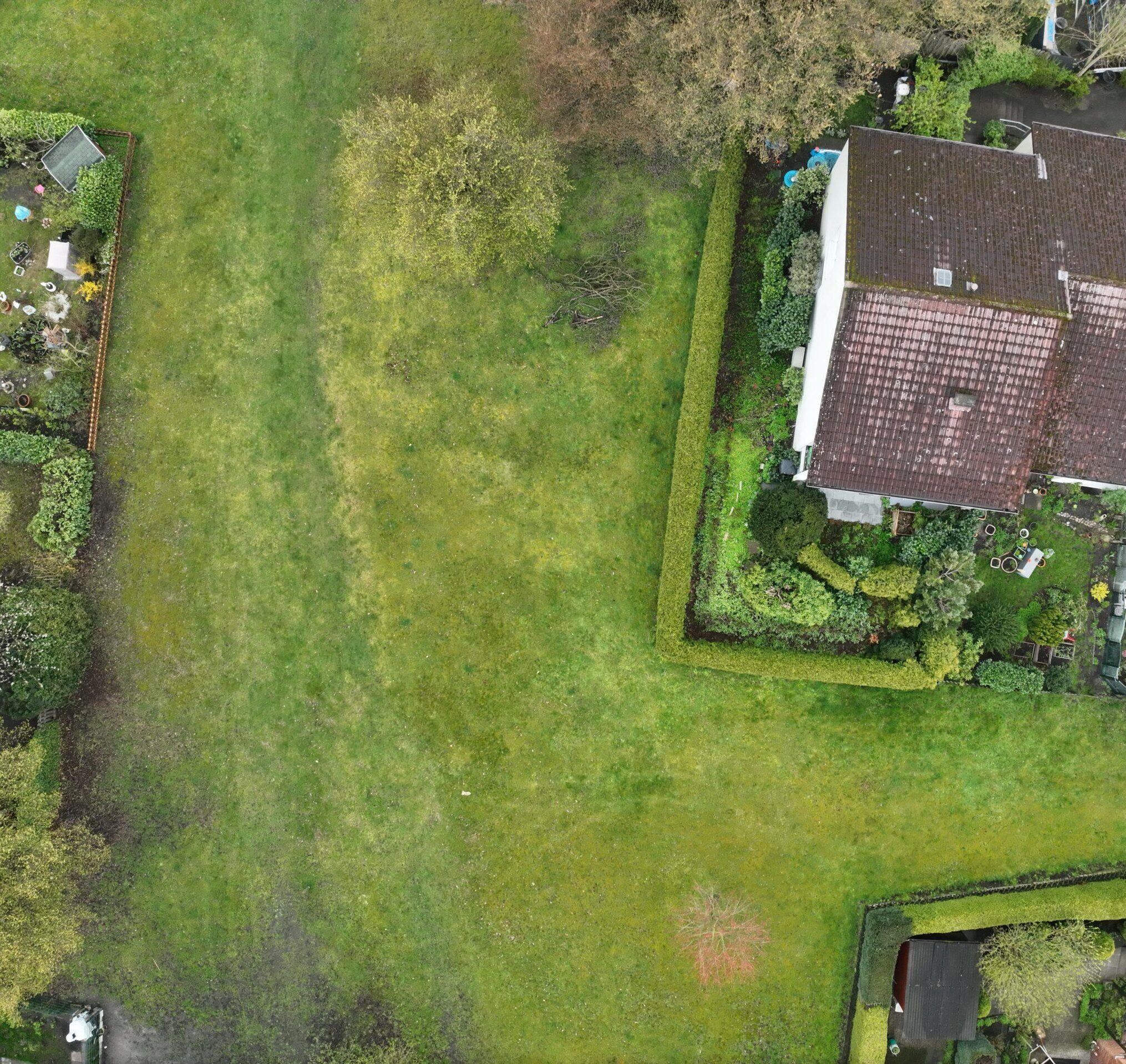
Unmanned Aerial Vehicles (UAVs) can perform a variety of tasks to facilitate the planning and completion of residential real estate. For example, drones are perfect for surveying land to be built on. Not only is aerial surveying faster and cheaper than surveying on foot, but the data collected is far more detailed as well. Once the terrain has been flown over, a realistic 3D model can be created with the right software.
Efficiency through flying construction documentation
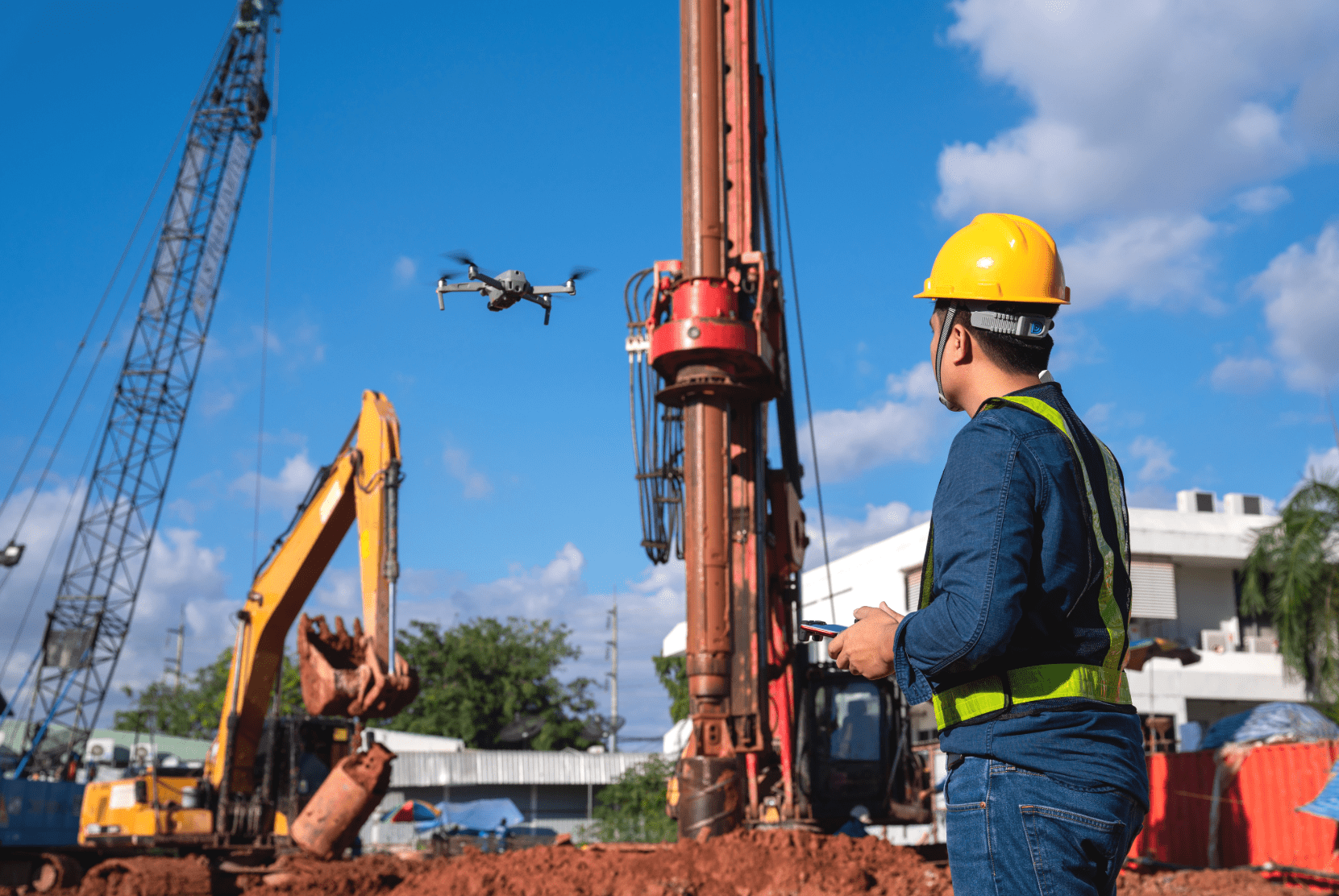
But that’s not all. Even if construction has already begun, multicopters can enormously increase efficiency on the construction site. The bird’s-eye view is hard to beat, especially when it comes to construction documentation. And since a conventional RGB camera on the drone is sufficient for this, this application is comparatively inexpensive.
Thus, the construction process can be documented more frequently and in more detail than on foot or by helicopter. Such an intensively documented construction site can better assess its progress and plan the next steps efficiently. This saves the time and resources that new residential construction in Germany urgently needs.
FlyNex has what builders need
Are you planning a construction project and thinking about the use of drone technology? This requires the right software and management solutions. FlyNex products like MAP2FLY and HORIZON are the first choice. Use the leading map service for drone projects and guarantee a smooth workflow of planning, flying and analysis. Inform yourself now!
The FlyNex Team


