In the name of climate protection and sustainability, Germany has set itself ambitious goals. While today about one third (32 percent) of all electricity in Germany comes from renewable sources, this share is to double to 65 percent by 2030.
Thus, a rapid expansion of the German electricity grid will be necessary over the next few years. This is the only way, for example, to supply the industrialized South of Germany with North German wind energy.
Aerial surveying saves time and money
How many kilometers of new power lines will ultimately have to be optimized, reinforced or newly built for this project is controversial. While Federal Economics and Energy Minister Peter Altmeier speaks of more than 7,500 kilometers, other experts assume much more.
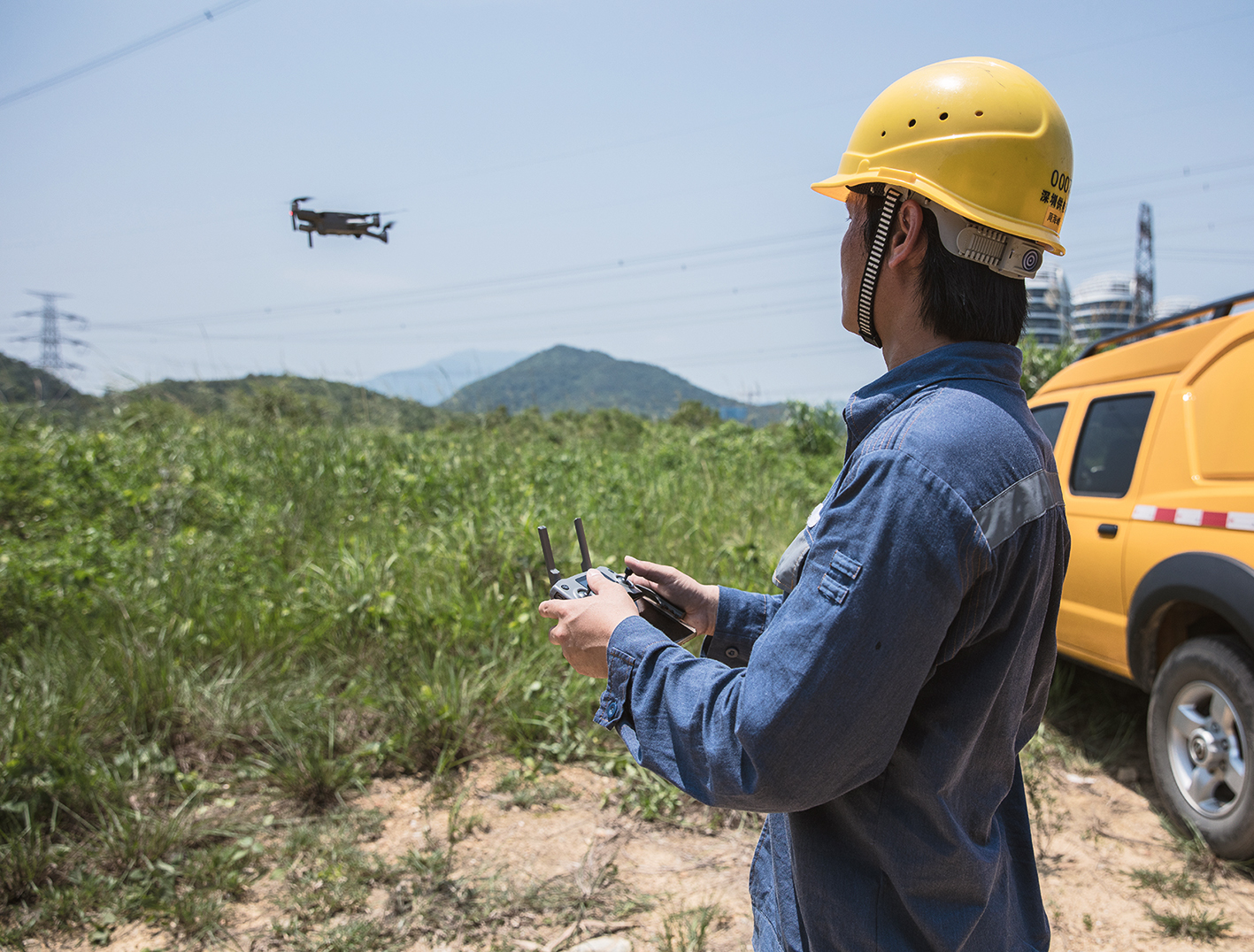
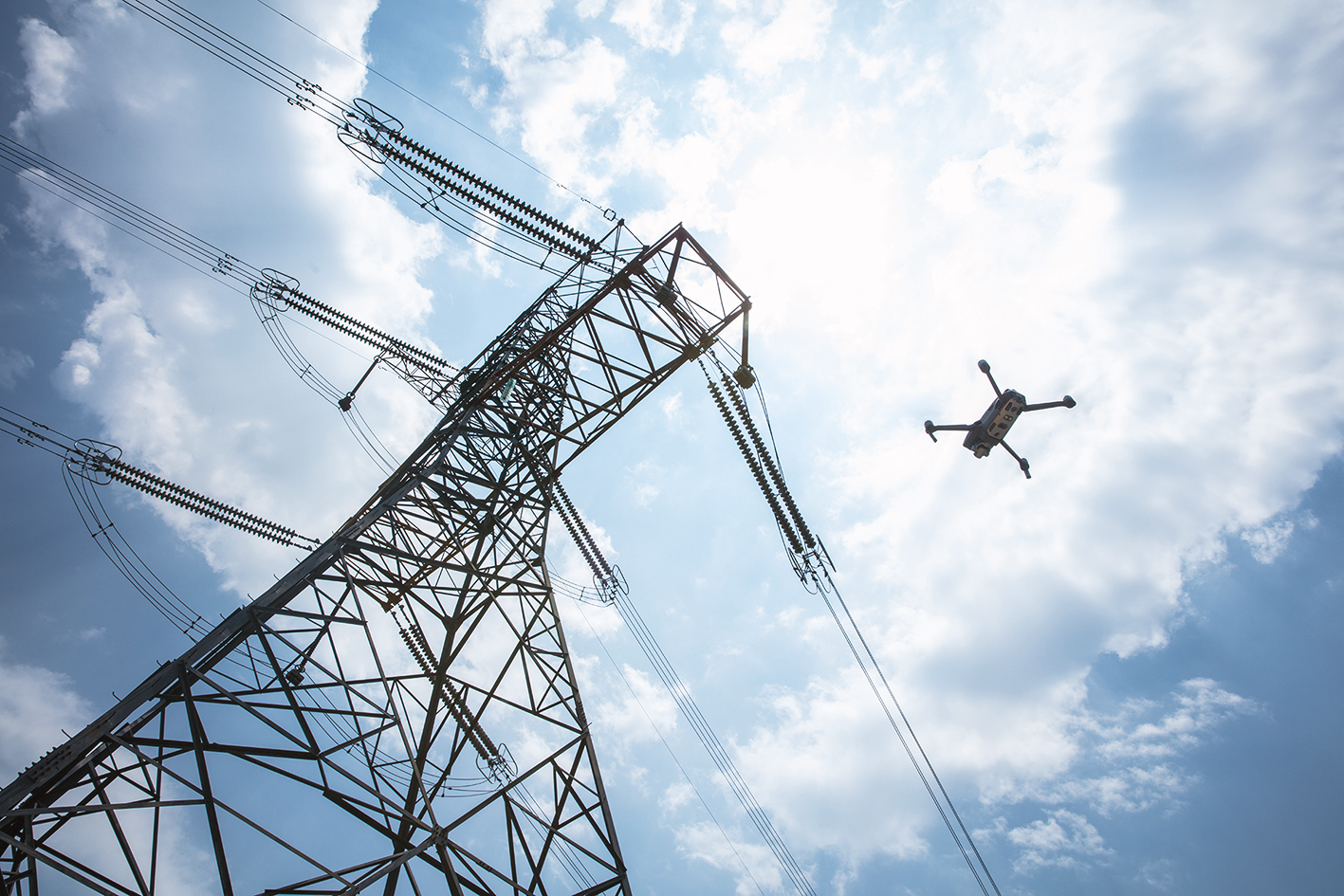
For some “electricity highways”, the approximate route has already been determined, such as the controversial, 700-kilometer long Suedlink. Many others, however, still have to be planned. Here unmanned aerial vehicles (UAVs) can help to save time and money.
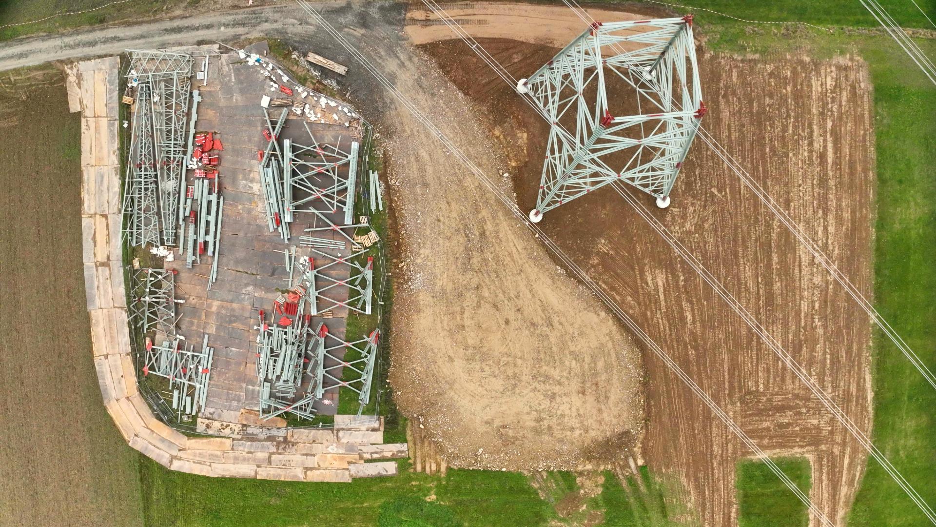
The larger and more impassable the area to be surveyed, the more effective drones are compared to ground-based surveying technicians. From many overlapping photos taken by the multi-copter, a 3D model of the terrain can be created using photogrammetry. Such realistic models facilitate the planning of individual power pylons and thus also the exact route of the routes.
The right software for the job
Suitable flight routes for drones are indispensable for this procedure. There are two ways to determine these: On the one hand, flight charts can be laboriously studied and any legal difficulties on the route checked. On the other hand, time- and resource-saving products such as MAP2FLY and HORIZON from FlyNex can be used.
With MAP2FLY, the ideal route for the survey flight can be planned with just a few clicks – including all the rules and regulations applicable to the terrain. The time required for complete planning can thus be greatly reduced – sometimes to less than an hour! This speed could be essential to meet the timetable of the German energy revolution.
Are you interested in using MAP2FLY for your construction project? Then inform yourself now!
Your FlyNex Team
