Some regions in Germany are threatened by the third year of drought in a row. Especially in the region around Leipzig, the drought monitor of the Helmholtz Centre for Environmental Research reports a serious situation for the soil. In the upper ten centimeters, the soil is currently completely dried out, and up to 1.80 m below ground, there is hardly any water stored.
April alone was hardly as rainy in the first weeks as it had been before. In some places, it was only 5% of the previous average rainfall. For agricultural and forestry enterprises, this means harvesting, cultivation, and management under extreme conditions. Already 82 percent of farmers use digital applications and solutions. These include drone-based methods. Here, every 10th farmer is now equipped with an unmanned aircraft.
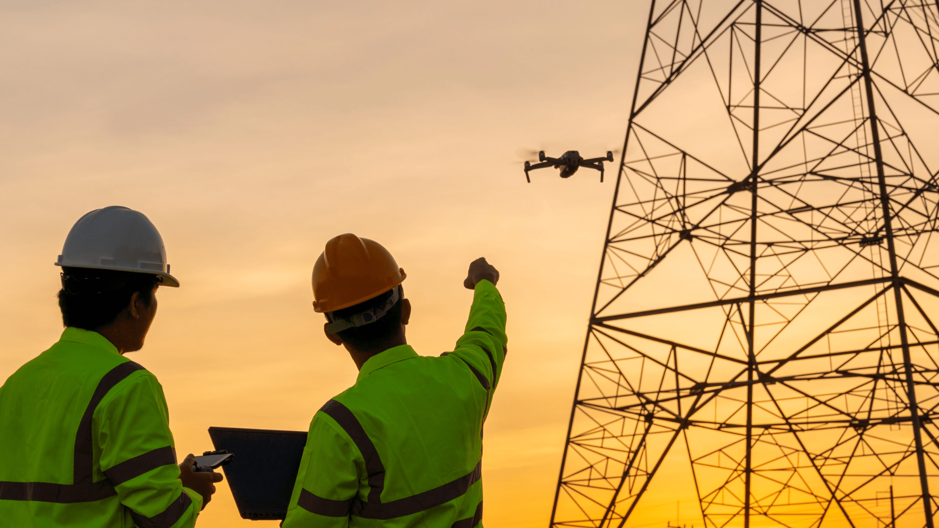
Farmers and foresters have been using drones from the air for some years now. But how can you tell from the air what is happening on the ground?
Photography
The simplest and most pragmatic use for field and field inspection is photography. Special cameras on drones make it possible to take aerial photographs in a few minutes. Performed at regular intervals of a few days or weeks, changes can be easily detected when the images are superimposed.
Comparison of thermal images
The soil temperature over an area is more and more frequently recorded with thermal photography. As part of so-called remote sensing data in agriculture, soil properties or groundwater levels can be determined very quickly.
Not only to check the ground but also to rescue fawns in tall fields, thermal images via drones are in use throughout Germany.
Automated flight planning
Many developments in the area cannot be determined by individual snapshots. Automated flight planning on the computer makes it possible for drones to take control shots at predetermined locations and routes at regular intervals. This procedure, also known as Remote Inspection & Maintenance (RIM), in which one or more drones fly along specific routes for inspection, is finding more and more applications.
Further areas of application?
Are you interested in the topic of drones in agriculture and forestry? Write to us. We would be pleased to talk to you personally about the useful possibilities and areas of application. Or simply contact us by e-mail with your questions without obligation.
Your FlyNex Team


